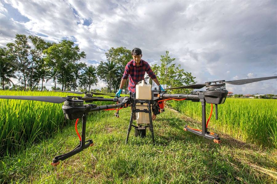
Drone in Farming
Aerial drone photography services help farmers stay agile in their land management responsibilities. Drone video and photos are extremely effective for scouting land and crop features quickly, leading to smarter resource decisions that cut costs and increase production.
Increase crop yields by monitoring multiple issues affecting plant health and growth.
Quickly find and address crop disease, infestation, or poor irrigation
Perform soil and field analysis to assess moisture and fertility levels
Plant more efficiently by gathering visual data that maps the terrain and collects information about the topography and soil
Leverage topographical, thermal, and spectral mapping to monitor and assess crop health faster with more precision over large land areas
Consultations for prospective farming
Farming has always been a challenging endeavor, with decisions often based on experience, inherited knowledge, or recommendations from fellow farmers.
Get Consultation