Forest and Land Stewardship
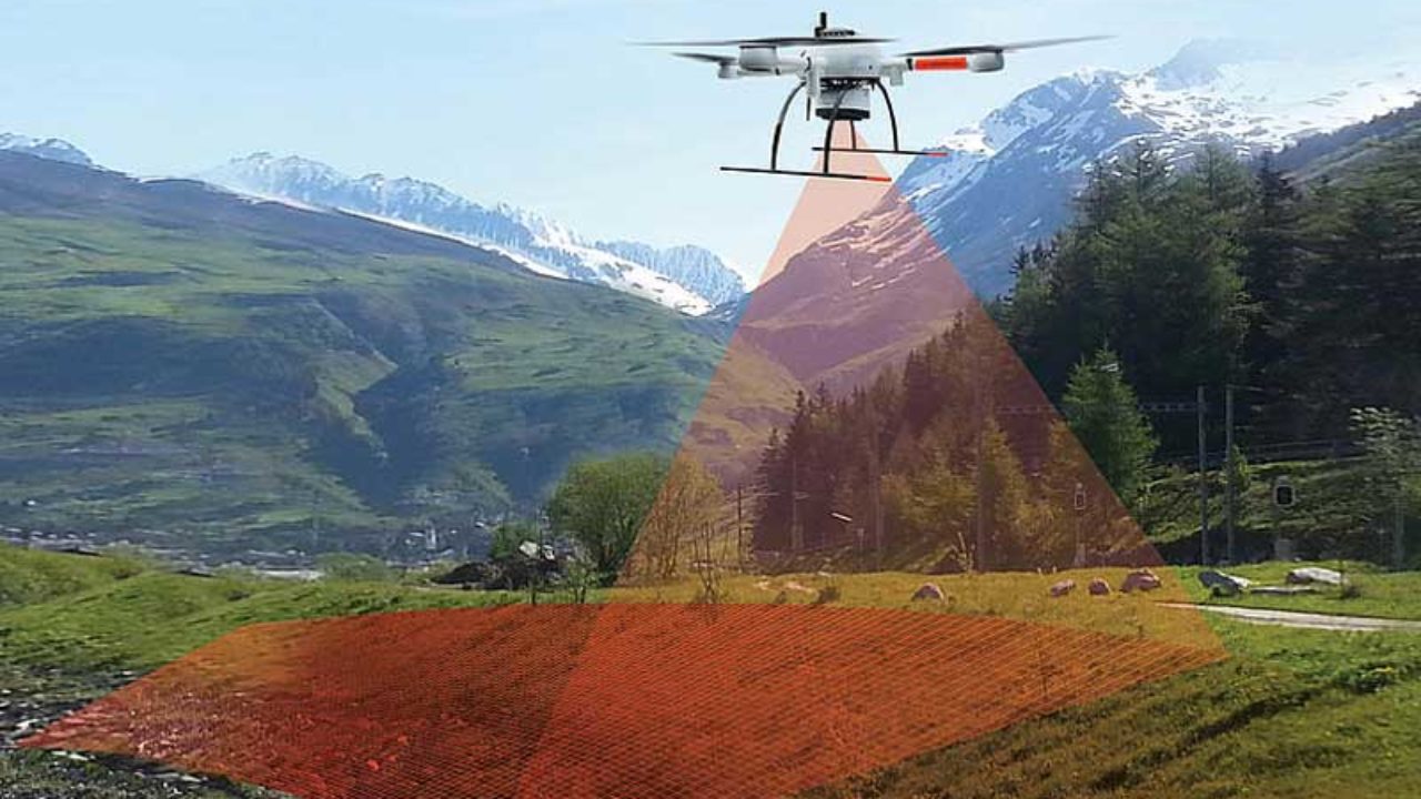
Private owners and public organizations in charge of large swaths of wild forest or rural land can leverage aerial drone photography to formulate land management plans and monitor the ongoing health of their acreage.
With aerial drone photography, land stewards can:
Formulate an effective land management plan that considers boundaries, forest stands, wood species, biodiversity, and more.
Create fully comprehensive maps of parcels, ensuring every acre is included in the land management plan.
Predict and mitigate disasters such as forest fires, landslides, and ecological disease by gathering visual data otherwise unobtainable by ground-level or naked-eye assessments.
Gather marketing photos and video for land to be sold.
Conduct due diligence for aid program applications such as the Forest Stewardship Program, the Landowner Assistance Program, or USDA assistance programs.
Consultations for prospective farming
Farming has always been a challenging endeavor, with decisions often based on experience, inherited knowledge, or recommendations from fellow farmers.
Get Consultation